
Whether you’re an experienced hiker blazing remote backcountry trails or a beginner exploring your first nature path, having the right tools can make a world of difference. Thanks to smartphones and GPS-enabled devices, outdoor exploration has become safer, more efficient, and even more enjoyable. From offline hiking maps to wildlife identification and hiking safety apps, this guide covers the best hiking and outdoor adventure apps to take on your next outdoor journey.
Best Hiking & Trail Navigation Apps
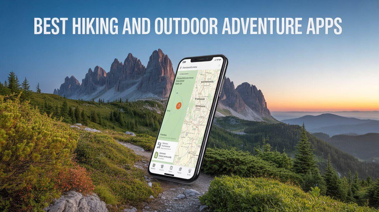
AllTrails (iOS, Android)
Best for: Finding and reviewing hiking trails
Pricing: Free; Pro version available ($35.99/year)
AllTrails is one of the most popular trail navigation apps worldwide, offering a massive database of over 400,000 curated trail maps. Each trail comes with community reviews, difficulty ratings, distance, elevation, and real user photos, making it ideal for planning your next hiking or mountain biking trip.
Key Features:
-
Detailed topographic trail maps with GPS tracking
-
Trail filters by difficulty, length, elevation gain, and activity type
-
Downloadable offline hiking maps with the Pro version
-
Real-time weather and air quality updates
-
Dog-friendly and kid-friendly trail options
Why It Stands Out:
AllTrails combines social recommendations with trail data to help hikers of all levels find the perfect route. It’s especially useful for beginners or families who want to avoid challenging or unsafe trails.
Gaia GPS (iOS, Android)
Best for: Backcountry hikers and navigation pros
Pricing: Free basic; Premium plan starts at $39.99/year
Gaia GPS is a top choice for advanced hikers, backpackers, and off-grid adventurers. It offers extensive map layers, including USGS topographical maps, satellite imagery, and public land boundaries, making it ideal for wilderness travel.
Key Features:
-
Access to multiple map layers, including weather overlays
-
High-resolution offline maps with GPS navigation
-
Route planning and tracking tools
-
Integration with Apple CarPlay and Android Auto
-
Sync across devices and export GPX files
Why It Stands Out:
Gaia GPS is one of the best hiking GPS apps for serious outdoor use, particularly in remote areas with no cell coverage. Its robust tools appeal to seasoned backpackers, thru-hikers, and overlanders.
Komoot (iOS, Android)
Best for: Adventure route planning and cycling trips
Pricing: Free; Region maps for offline use start at $3.99
Komoot specializes in multi-sport navigation and is loved by hikers, mountain bikers, and long-distance walkers. Its turn-by-turn voice navigation and ability to customize routes based on surface type, fitness level, and trail difficulty make it highly versatile.
Key Features:
-
Turn-by-turn voice guidance for trails
-
Offline hiking maps available by region
-
Custom route planning with surface and elevation data
-
Integration with smartwatches and fitness trackers
-
Community recommendations and highlights
Why It Stands Out:
Komoot is ideal for adventure planning across different terrains, whether you’re hiking in the woods or biking in the Alps. Its fitness-conscious suggestions are great for training or family trips.
ViewRanger (iOS, Android)
Best for: Navigation with augmented reality and offline maps
Pricing: Free; Premium maps via subscription
ViewRanger offers unique tools like augmented reality for identifying nearby peaks and trailheads. It supports offline hiking maps, GPS navigation, and integrates with smartwatches, making it an excellent option for on-the-go explorers.
Key Features:
-
Augmented reality (Skyline) for real-world waypoint identification
-
Offline topo maps for national parks and wilderness areas
-
Real-time location sharing for safety
-
Custom route creation and track recording
Why It Stands Out:
The AR functionality sets ViewRanger apart for hikers who enjoy visual exploration. It’s also a solid pick for solo travelers who want enhanced safety tools.
Hiking Project (iOS, Android)
Best for: U.S.-based trail discovery
Pricing: Free
Developed by REI, Hiking Project is a community-powered trail guide featuring GPS-enabled topo maps and trail descriptions contributed by local experts and users. It focuses mainly on the U.S. and is 100% free.
Key Features:
-
Detailed trail maps with elevation profiles
-
Offline GPS tracking with map download
-
Trailhead driving directions and weather info
-
Trail ratings and photos from other users
Why It Stands Out:
While limited to the U.S., Hiking Project offers a completely free and ad-free experience with reliable, crowdsourced trail data perfect for domestic hikes.
Adventure & Activity Tracking Apps
Strava (iOS, Android)
Best for: Fitness tracking and social sharing
Pricing: Free; Premium starts at $11.99/month
Originally built for runners and cyclists, Strava is now widely used by hikers to track elevation, distance, pace, and heart rate. It features social sharing, leaderboards, and community challenges.
Key Features:
-
GPS-based activity tracking
-
Elevation gain, speed, and route history
-
Social feed with friends’ activity updates
-
Segment competition and route planning
-
Integration with wearables and fitness devices
Why It Stands Out:
Strava transforms hiking into a social experience and is a top trail tracking app for fitness enthusiasts who want to analyze and share their outdoor workouts.
MapMyHike (iOS, Android)
Best for: Beginner-friendly activity tracking
Pricing: Free; Premium features via MapMyFitness
From Under Armour, MapMyHike offers intuitive route tracking and performance metrics like calories burned, pace, and duration. It syncs with wearables and can even suggest new local trails.
Key Features:
-
Route recording with GPS
-
Audio coaching and voice feedback
-
Workout history and goal setting
-
Syncs with MyFitnessPal and fitness devices
Why It Stands Out:
This app is ideal for new hikers looking for motivation, fitness tracking, and straightforward trail logging.
Relive (iOS, Android)
Best for: Visualizing hiking adventures in 3D
Pricing: Free; Premium option available
Relive allows users to create 3D video stories of their hikes, integrating route maps, photos, stats, and even music. It’s perfect for those who want to document and relive outdoor memories.
Key Features:
- 3D video route playback
-
Integration with Strava, Garmin, Suunto
-
Add photos and moments to the hike timeline
-
Shareable videos on social media
Why It Stands Out:
It’s a fun, creative way to capture the story of your hike especially for families or influencers.
Safety and Survival Apps
Cairn (iOS, Android)
Best for: Safety check-ins and cell coverage info
Pricing: Free trial; Subscription ~$26.99/year
Cairn is designed with outdoor safety in mind. It helps hikers stay connected, log expected return times, and identify where cell coverage exists along the trail.
Key Features:
-
Smart trip-planning and location-sharing
-
Alerts emergency contacts if overdue
-
Cell coverage maps by carrier
-
Offline navigation and trail maps
Why It Stands Out:
This is one of the best hiking safety apps for solo travelers or those exploring remote areas where emergencies could arise.
First Aid by American Red Cross (iOS, Android)
Best for: Emergency preparedness
Pricing: Free
This app provides expert medical guidance for common outdoor injuries like cuts, hypothermia, insect bites, or broken bones even without an internet connection.
Key Features:
-
Step-by-step first aid instructions
-
Video tutorials and safety tips
-
Offline access to emergency content
-
Links to 911 and nearest hospitals
Why It Stands Out:
Essential for any outdoor adventure, it’s a smart addition to your phone’s emergency kit.
Offline Survival Manual (Android only)
Best for: Bushcraft, survival, and self-rescue
Pricing: Free
This no-frills app covers outdoor survival skills including building shelters, finding water, identifying edible plants, and navigating without GPS.
Key Features:
-
Offline-accessible survival guide
-
Bushcraft and wilderness navigation techniques
-
Emergency preparedness advice
Why It Stands Out:
Ideal for backcountry campers or preppers who want survival info without relying on data or battery-draining apps.
Nature & Wildlife Identification Apps
Seek by iNaturalist (iOS, Android)
Best for: Nature lovers and curious kids
Pricing: Free
Seek helps you identify plants, animals, insects, and fungi simply by pointing your camera. Developed by iNaturalist and the California Academy of Sciences, it’s educational and fun.
Key Features:
-
Camera-based species recognition
-
Earn badges and participate in nature challenges
-
Offline usage with previously downloaded data
-
Great for families and kids
Why It Stands Out:
A perfect tool to enrich any hike with learning, especially for families with children interested in biodiversity.
Merlin Bird ID (iOS, Android)
Best for: Birdwatchers and nature photographers
Pricing: Free
Created by the Cornell Lab of Ornithology, Merlin Bird ID lets you identify birds by photo or song.
Key Features:
-
Song and call recognition
-
Photo-based bird identification
-
Bird packs for regions worldwide
-
Life list tracking
Why It Stands Out:
An essential companion for any birder or quiet forest wanderer looking to identify feathered friends.
PlantSnap (iOS, Android)
Best for: Identifying plants and trees
Pricing: Free with premium upgrade
Snap a photo of any plant, flower, tree, or mushroom, and PlantSnap will identify it with impressive accuracy.
Key Features:
-
Database of over 600,000 plant species
-
Global plant recognition and care tips
-
Community uploads and discovery feed
Why It Stands Out:
One of the most comprehensive nature identification apps, helpful for botanists or those exploring unfamiliar environments.
Tips for Choosing the Right Hiking App
-
Go Offline: Choose apps that allow downloading maps or data for use without cell service.
-
Battery Life Matters: Apps with dark mode and offline capabilities drain less battery.
-
Match to Your Goals: Use one app for navigation (e.g., Gaia GPS), one for fitness tracking (e.g., Strava), and another for safety (e.g., Cairn).
-
Check Compatibility: Some apps work better with Apple Watch, Garmin, or Android Wear.
-
Read Reviews: Community feedback on apps like AllTrails helps you avoid poorly maintained or dangerous trails.
Final Thoughts
The right hiking and outdoor adventure apps can completely transform your experience in nature. Whether you’re tracking your distance with Strava, discovering new trails with AllTrails, or staying safe with Cairn, these tools can help you hike smarter and safer. Don’t forget to download offline hiking maps and bring a portable charger and always respect the environment you explore.


